


The warning system for tropical storms and tsunami on Makran beaches
Beaches in Makran are very significant because of their large capacity and unique geographic setting. The Makran beaches are exceptional due to their artificial geography and advantageous position, in addition to their many natural beauty and tourism attractions. This area is more valuable from a political, military, economic, and another perspective due to its closeness to the Oman Sea and the Indian subcontinent’s boundaries. Tropical cyclones that form in the middle latitudes of the Indian Ocean are constantly affecting the Makran region due to its unique climate and location in the north of the ocean. The severity and frequency of this phenomenon have risen because of the recent climatic changes brought on by human-caused global warming. Destructive catastrophes from the previous years include the Gonu Cyclone in 2007, the Fat in 2010, and the Kiar in 2020. The “tropical rotational forecasting system in the northern Indian Ocean” has been launched by Ocean Research Co. The following are the parts of this system:
- Establishing a rapid tropical cyclone warning forecasting system in the Indian Ocean and Oman Sea
- Establishing a system for forecasting tidal level and storm surge
- Establishing a warning system for sudden changes in water level and flooding of coastal areas and providing an evacuation plan
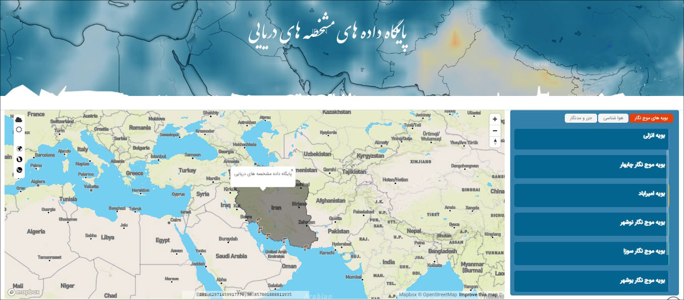
Marine data bank
As a reference database for marine users who are in scientific, operational, and design units, the knowledge-based Deep Ocean Pars Research Co. has a history of exhibiting the data of measuring tools (waveform buoys, meteorological equipment, and geometers), which also contains their historical background. With the best software codes created by the knowledge-based Oceans Research Co. software team, this system now gives users the necessary data with the minimum delay feasible following the chosen access level.